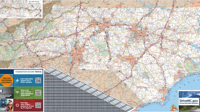
RALEIGH – New North Carolina State Transportation Map are available from the N.C. Department of Transportation. The cover of the new map features some of North Carolina’s most scenic views, including the Blue Ridge Parkway, the Greensboro skyline and Sunset Beach.
First published in 1916 and updated every two years, the state map is NCDOT’s most popular publication, with 1 million copies printed this year. The new map details the more than 81,000 miles of state-maintained roads, one of the largest in the nation.
The state map is available for free at any of the state’s 58 rest areas, nine welcome centers and NCDOT offices.